Select a Station
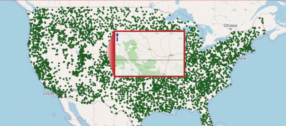
The Drought Risk Atlas provides pre-computed drought indices for more than 4,000 locations across the United States. Each station included provides a long, continuous record of weather data. Use the map viewer to find the station nearest you.
View Drought Indices
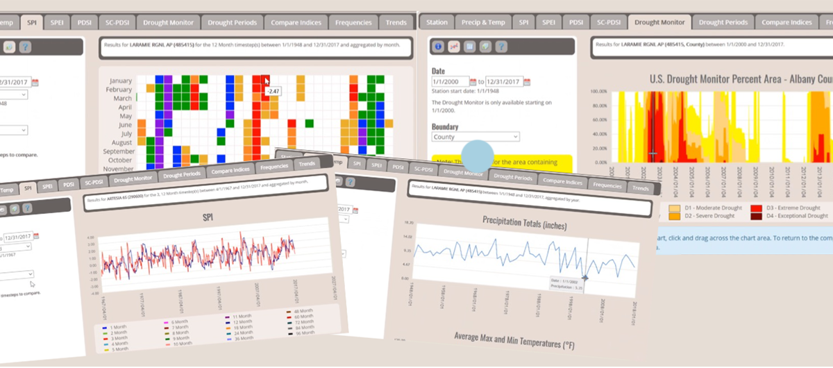
The Drought Risk Atlas provides pre-generated heat maps, time series, tabular analyses and more for the Standardized Precipitation Index, the Standardized Precipitation and Evapotranspiration Index, the Palmer Drought Severity Index, the self-calibrated Palmer Drought Severity Index, the Standardized Streamflow Index, and more.